|

|


550 County Road 281 47 Acres of Residential Land Offered at $4,999,995 in Leander, TX 78641
INVESTMENT HIGHLIGHTS
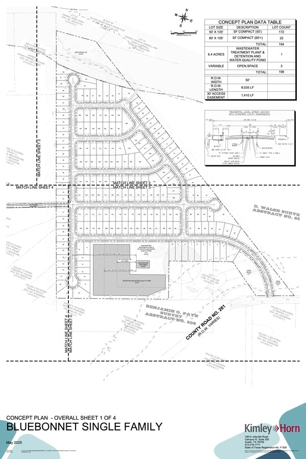
- Proposed 192 lots for single-family (primarily 50-foot lots)
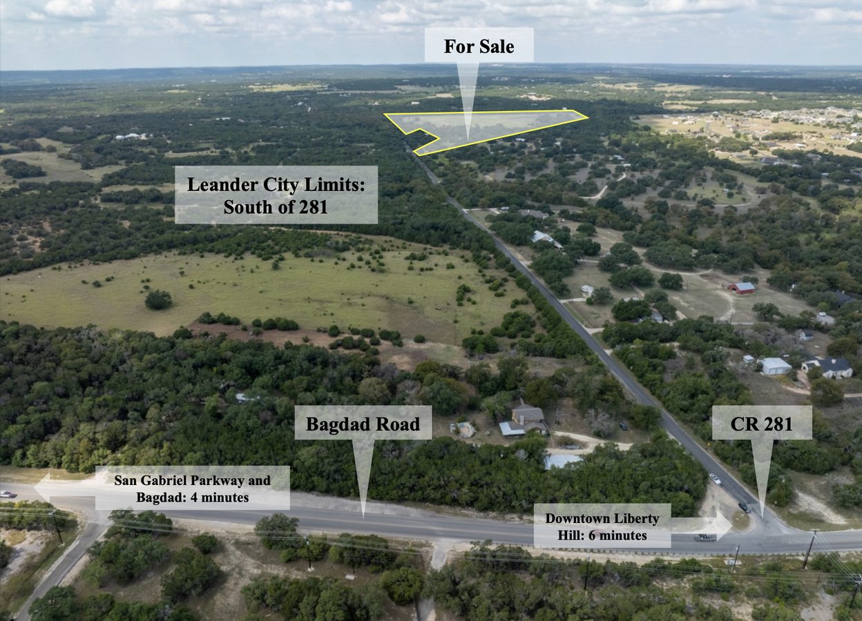
- Incredible location just west of N Bagdad Rd on County Road 281 near Liberty Hill and Leander
- 6 minutes from downtown Liberty Hill
- Seller can deliver finished lots depending on builder and terms
- 5 minutes from the Leander Rail Station
- On-site discharge point for wastewater treatment plant possibility
EXECUTIVE SUMMARY
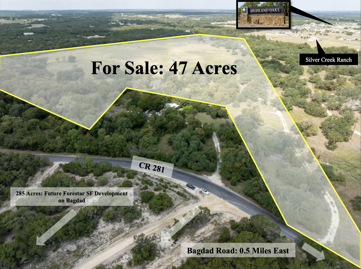
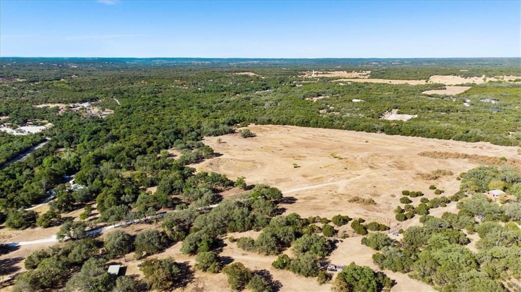
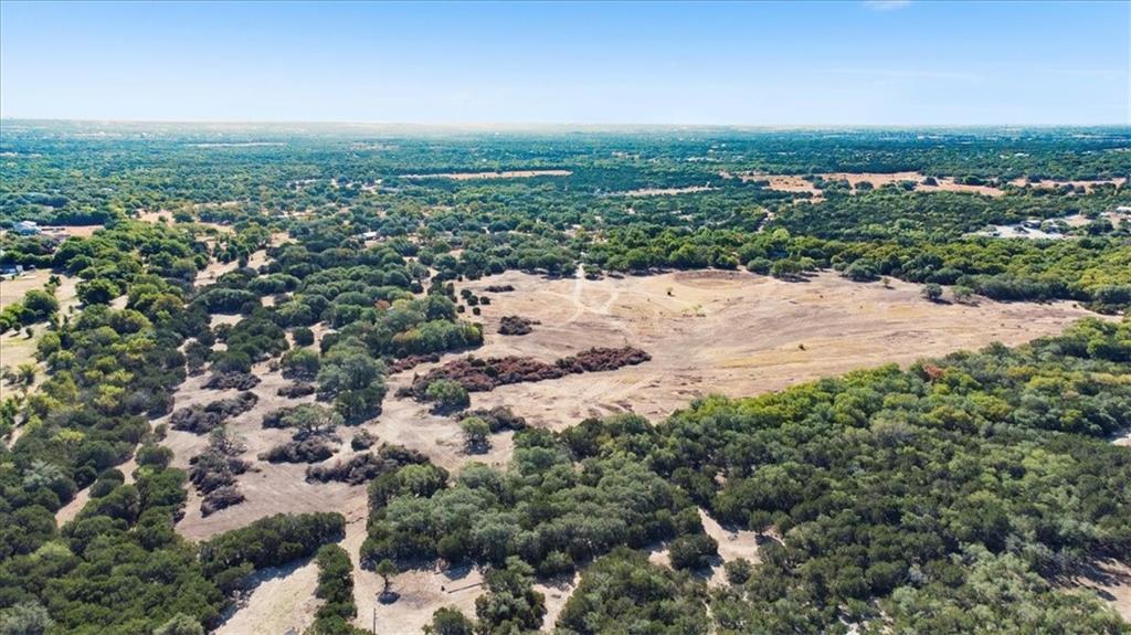
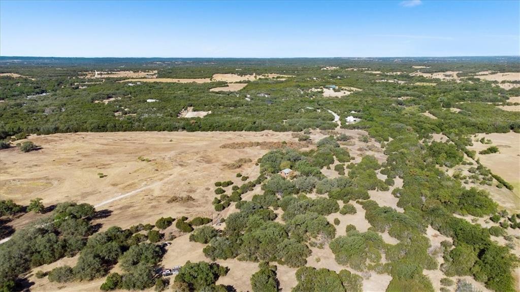
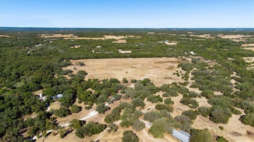
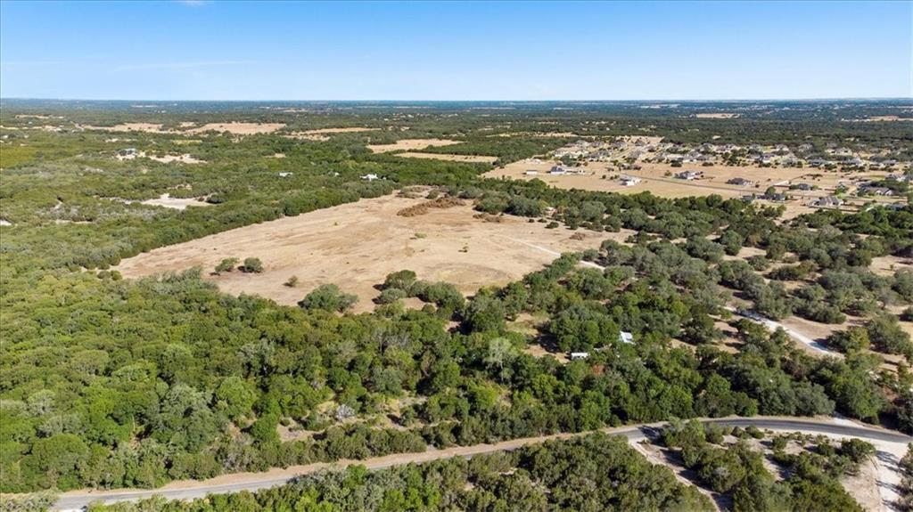
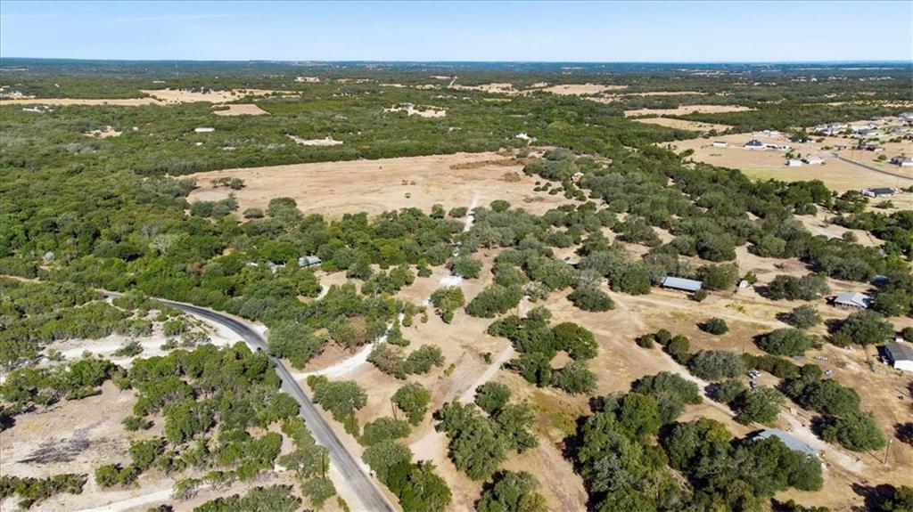
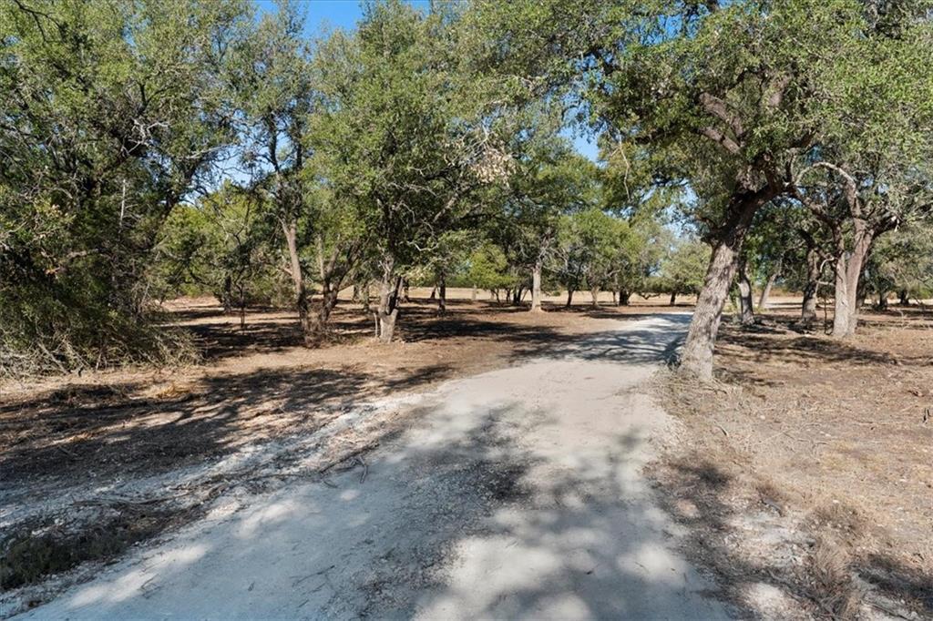
The property is a total of 47 acres proposed for dense single-family development of approximately 192 lots. Just 0.5 miles from the intersection of Bagdad Road and 281 and only minutes from downtown Leander and the surrounding schools for Liberty Hill ISD. There is great potential with the mostly level topography and open space amidst heavy trees with large beautiful oaks throughout. Seller is in the process of confirming viability for utility capacity with Leander and an annexation into the City along with a development agreement will be required for the denser lot count.
PROPERTY FACTS
| Price | $4,999,995 | Property Subtype | Residential |
| Sale Type | Investment or Owner User | Proposed Use | Single Family Development |
| No. Lots | 1 | Total Lot Size | 47.00 AC |
| Property Type | Land |
| Price | $4,999,995 |
| Sale Type | Investment or Owner User |
| No. Lots | 1 |
| Property Type | Land |
| Property Subtype | Residential |
| Proposed Use | Single Family Development |
| Total Lot Size | 47.00 AC |
1 LOT AVAILABLE
Lot
| Price | $4,999,995 | Lot Size | 47.00 AC |
| Price Per AC | $106,382.87 |
| Price | $4,999,995 |
| Price Per AC | $106,382.87 |
| Lot Size | 47.00 AC |
AW0666 WALSH, D. SUR., ACRES 25 & AW0666 WALSH, D. SUR., ACRES 22 From Austin, Take US-183 North, Left on San Gabriel Pkwy, Right on Bagdad Rd, Left on CR-281. Go Approximately 1 mile west on CR-281 to silver gate on the right.
PROPERTY TAXES
| Parcel Number | R577895 | Improvements Assessment | $147,901 |
| Land Assessment | $0 | Total Assessment | $400 |
PROPERTY TAXES
Parcel Number
R577895
Land Assessment
$0
Improvements Assessment
$147,901
Total Assessment
$400
MAP
ADDITIONAL PHOTOS
 Bagdad and 281
 Northwest from 281
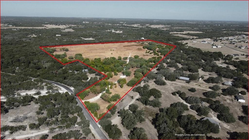 Property Boundary
 Southeast
 Nothwest
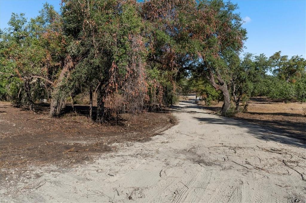
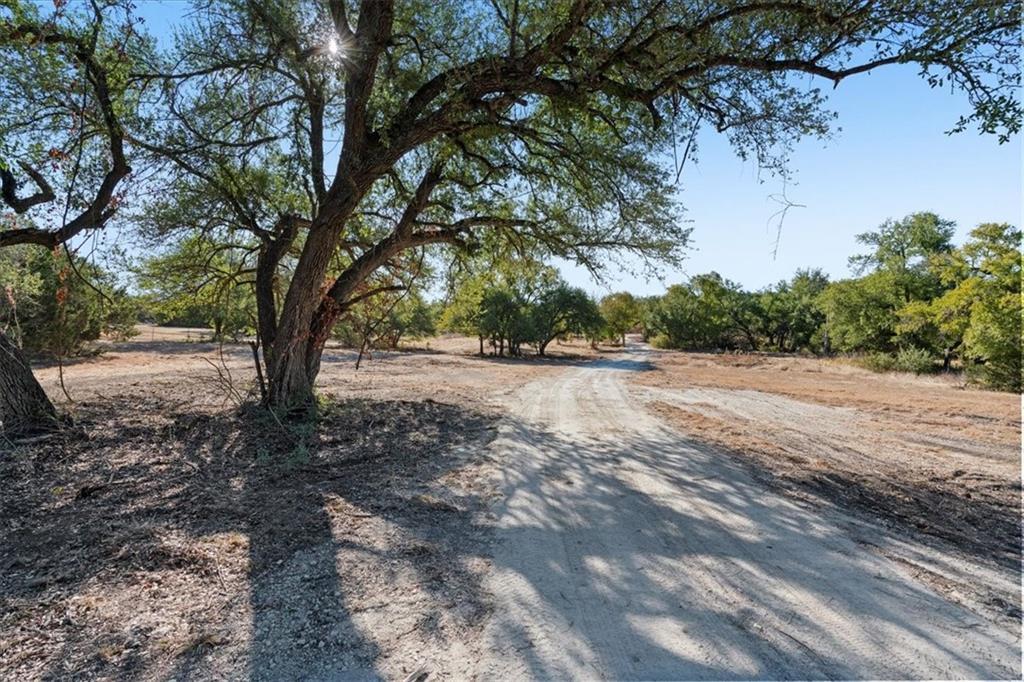 Property Entrance
 Southeast
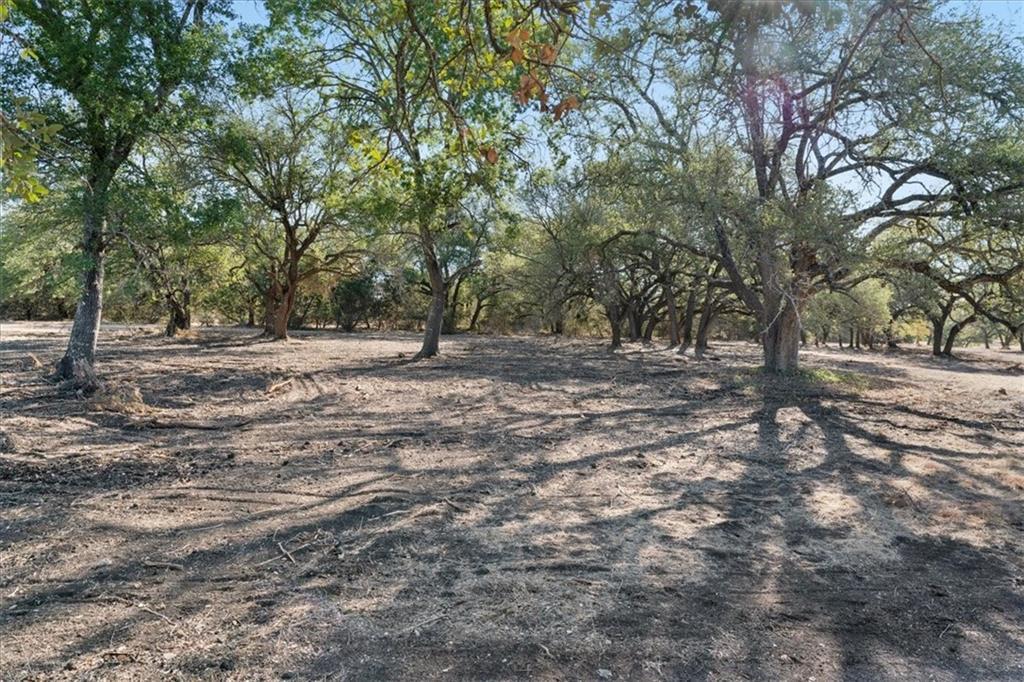
 Northern portion of tract
 18
18
 17
17
 9
9
 14
14
 Road
Road
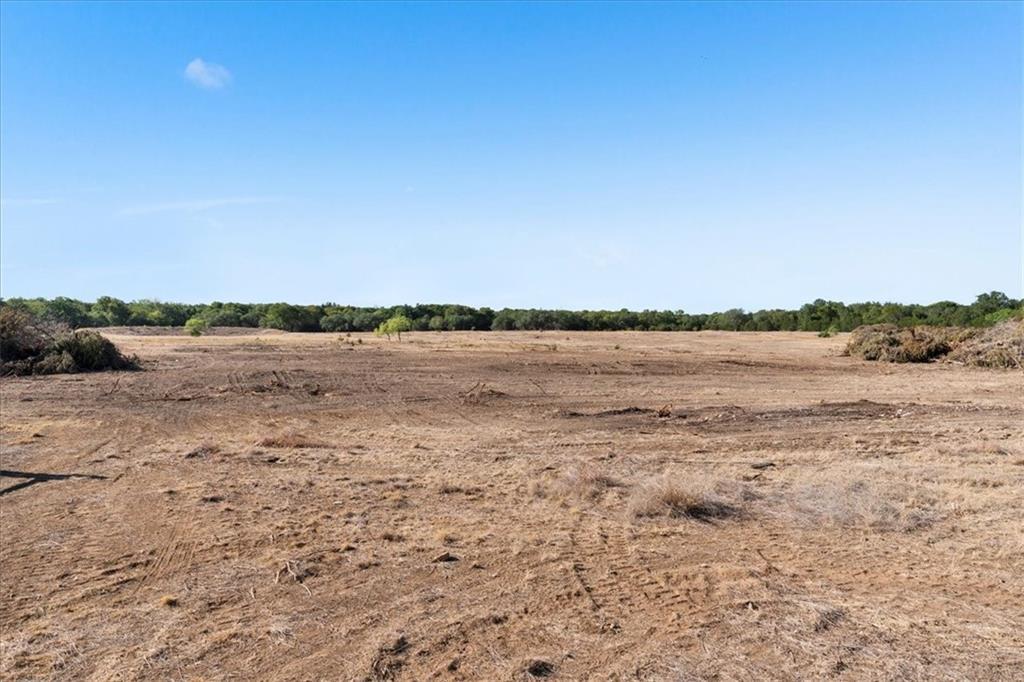
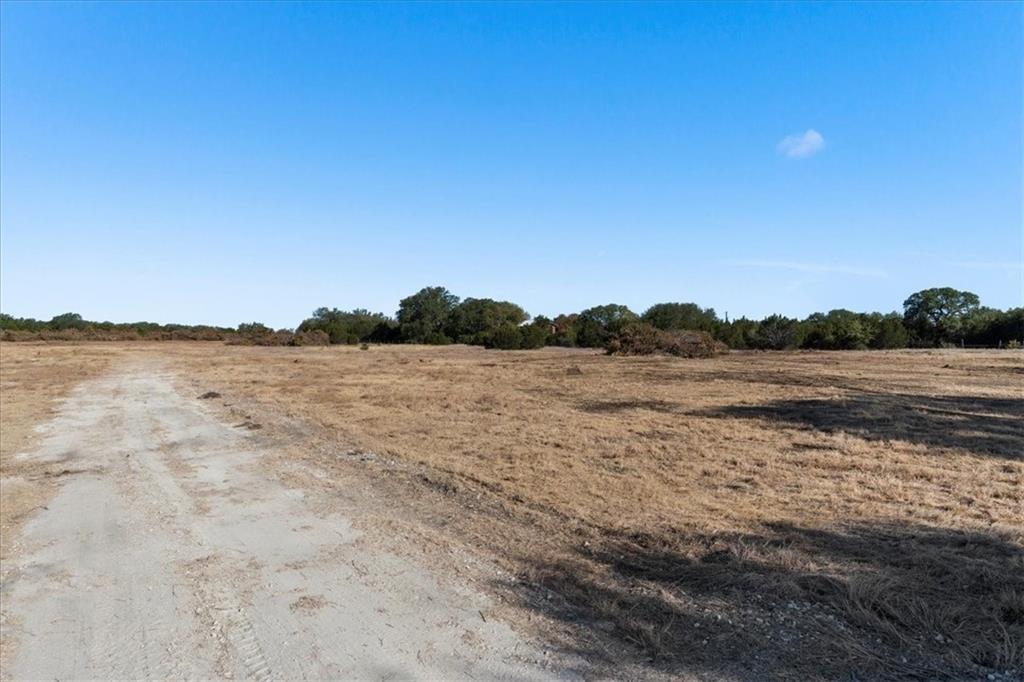
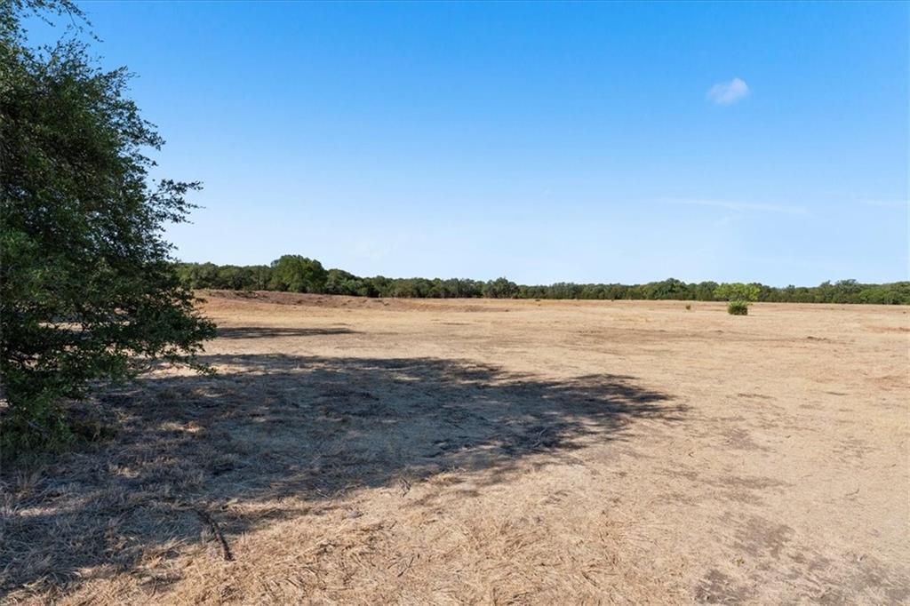
 Mostly flat topography
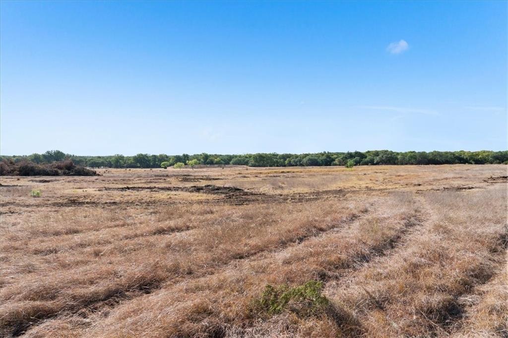
 Open area
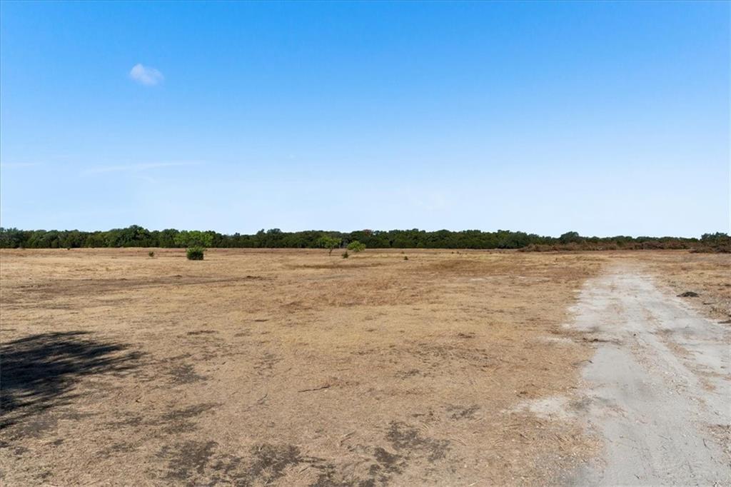 Open area
 Clearing
 Entrance
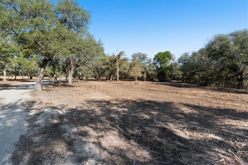 Entrance
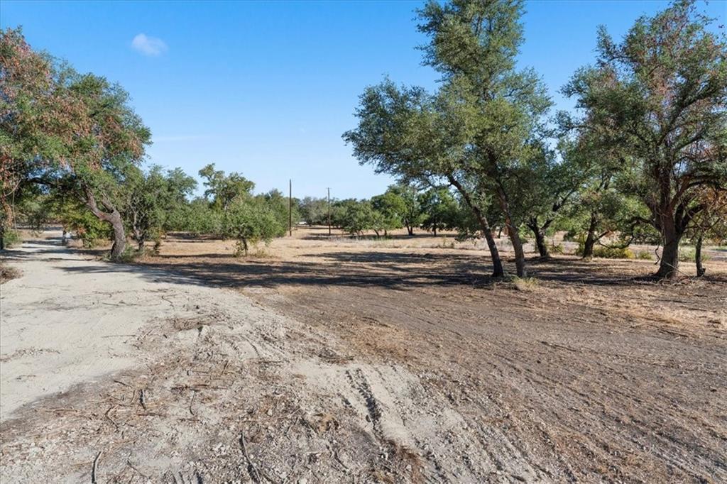 Entrance
 Entrance